The area covered is along the A4 between McDonald’s roundabout and the Pheasant public house and includes some of the land on both sides: Cepen Park and Hungerdown to the north and Showell and the Pudding Brook valley to the south. In 1987 Wiltshire Rescue Archaeology Project were planning their winter season of fieldwalking; one of the areas they chose was land to the west of Chippenham because “this area represents the largest block of land threatened by development.’’ By 1991 the new Sainsbury’s supermarket was open; a Neolithic pit, with finds, including prehistoric pottery, bone, worked flint and burnt hazel nuts, had been investigated, the finds recorded and archived and the pit covered by the new development. A Romano-British ditch, containing, amongst other things, a Roman coin, had been excavated and the coin deposited at Wiltshire Museum. Fieldwalking turned up medieval and post medieval pottery and a Mesolithic flint which were bagged, recorded and deposited at Chippenham Museum. These are just some of the many finds.
Initially, excavations were carried out by Wiltshire Rescue Archaeology Project and archaeologists based at Chippenham College, after the Planning Policy Guidance 16 of 1990 which stated that the archaeology of a site had to be assessed by anyone requiring planning permission for a development, more archaeological companies became involved. Wiltshire Rescue Archaeology Project became Thamesdown Archaeological Unit and Cotswold Archaeological Trust and Wessex Archaeology also operated in the area. All of the excavations generated archaeological records of the sites under review. These records exist in the form of archive boxes of finds, written and photographic documents, usually deposited at local museums, and reports and articles. It was this evidence that I searched for information on excavations and finds in my area of interest. The reports provided an account of the excavations and a summing up of the archaeological potential of the sites; some of the earlier ones came with their own obstructions: a crucial map was missing, details were changed slightly when the text was reproduced or a grid reference given with the numbers in the wrong order. Some reports were printed with an early dot-matrix printer, grey type, fading on the page, others were typed and photocopied, with hand written annotations and in one case, sharp critical comments. There were reflections on lost opportunities. Field notes from later digs were creased, mud on the printed pages. Within the entries in the day books lay suggestions of cold, wet, working conditions and flooded sites.
Chippenham Museum holds an extensive collection of artefacts from the surrounding landscape. I had permission to view the archives and on my first visit I was given two large boxes of finds to examine. The finds were in bags which were labelled so that they could be identified from the museum’s database. I examined the dusty contents of the little bags with great care; there were some definite shapes, but other items were fragments, knowable only by their description. There were many pieces, some recent: medieval and post-medieval, others from at least five thousand years ago. How could these things have existed then and be in my hand now? Surely the period of time between then and now was an obstacle to that. How had that obstacle been overcome? It seemed that the passage of time had been eclipsed and that myself and the objects had been brought up short, together, side by side. I photographed several finds from this fieldwalking from the late 1980s, carried out in advance of the building of Sainsbury’s supermarket and Cepen Park South. Later I photographed finds from more recent excavations, at Showell Farm and Hunters Moon. When I had a selection of photographs, I printed them, mounted them on board, then took each photograph to the findspot and photographed it there, in the place where the find had recently been discovered and originally, discarded, lost or deposited. As grid references had been recorded for most of the finds, it was possible, using GPS, to identify the exact place of the findspot. Occasionally, when just the locality of the findspot was given I calculated a central position.
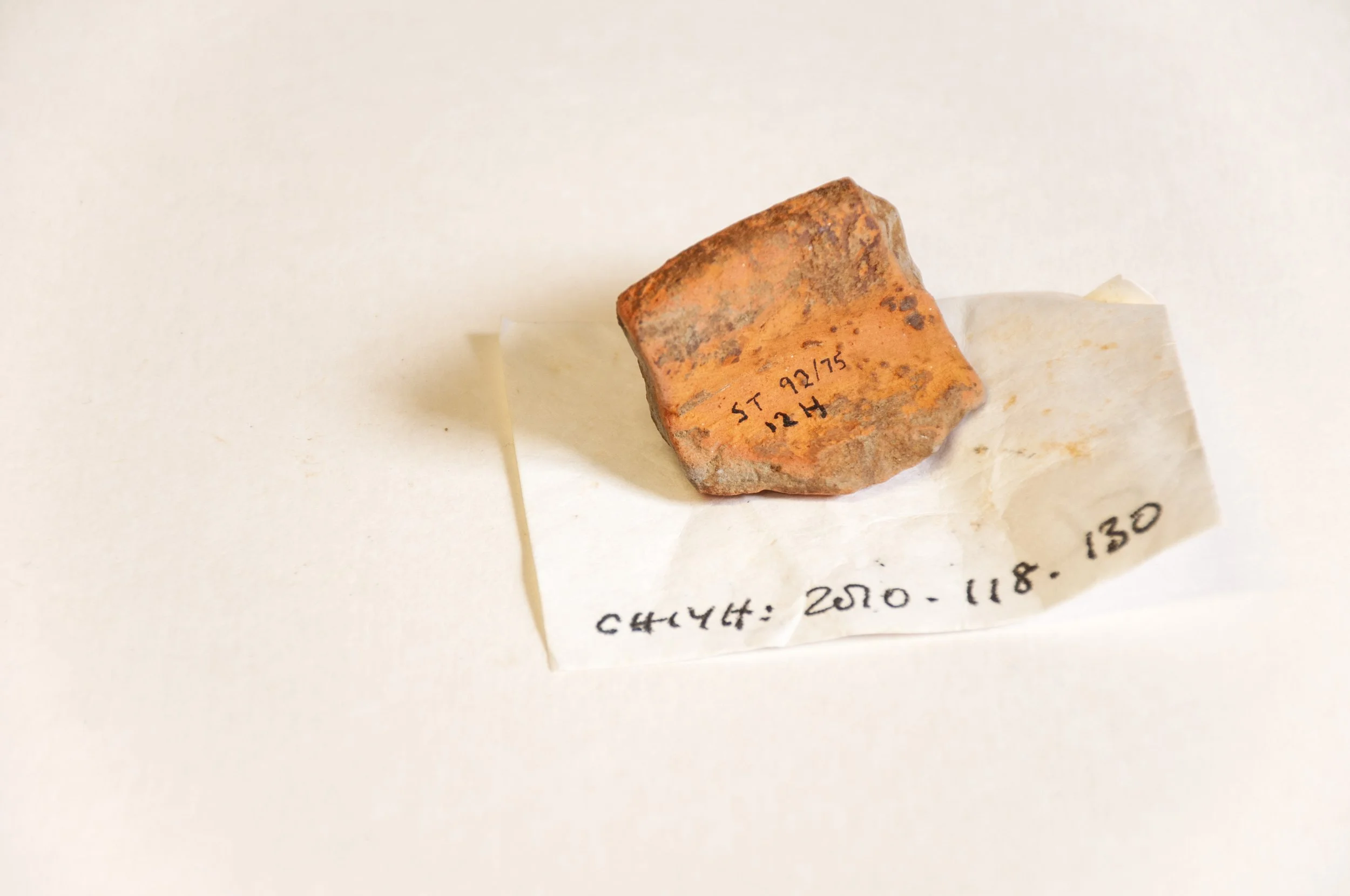
Mortaria fragment, photographed at Chippenham Museum, where it is part of the collection.
By 1991, all developments were preceded by excavations; the process which would eventually cover the findspots completely, being the one that would initially expose them. Though the number of excavations increased, finds only came from specific areas of development, the length of the pipeline alongside the A350, or the spread of Cepen Park and Sainsbury’s supermarket, so they were not indicative of the archaeology of the whole portion of land. However, the accumulated information has provided evidence of prehistoric and Roman activity in the landscape with suggestions of settlements, funerary activities, trade, travel and manufacture.
Acknowledgements