Goodwood Way
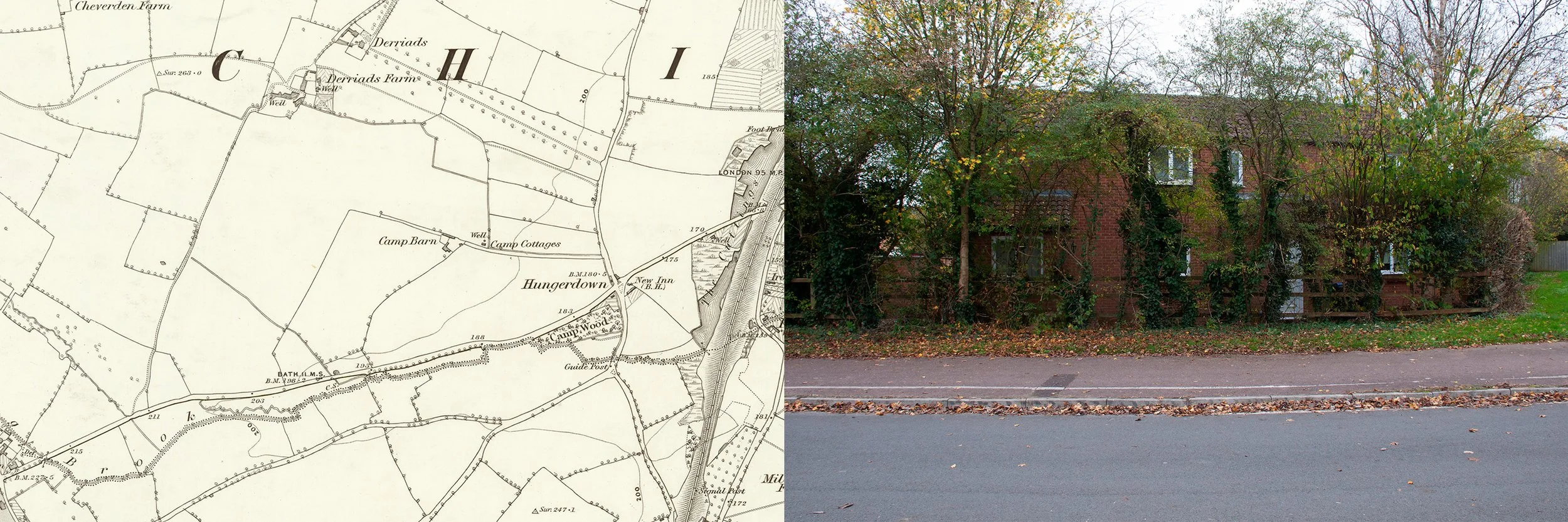
19th century map showing the position of Camp Barn. The photograph, taken in 2024, shows the site of the barn
Camp Barn is the only listed monument in the area where the word camp is used, though it occurs in the names of a few other, mostly lost, buildings. There is nothing left of Camp Barn now. It was situated at the end of a lane, which still runs west from Hungerdown Lane, now with Sainsbury’s supermarket to the south. Aerial photographs, taken for the Ordnance Survey in 1964, show farm buildings at the end of the lane: outhouses, barns and what appears to be a farm house, but these belonged to Camp Farm which is not listed and no longer exists. There is also Camp Cottages and just south of the A4, Camp Wood, referred to as Camp Coppice in the perambulations, made in 1807 to assert the parish boundaries. Recently, nearby, there was a Camp Wood Farm, of which there is now no sign, though it can be seen on photographs taken in the 1990s. There is no knowledge of the significance of the word camp. It is possible that it came into usage after the night of 8th July 1643, when the two opposing armies in the Civil War pitched camp very close to each other, “between Biddestone and Chippenham” but declined to fight. The night may have been fixed in the public memory for some time and the word camp used to define the area.
Camp Farm is also the name used to describe the land, now known as Cepen Park, which was sold by Mr. Goldney of Derriads to Mr. King who lived at Mynte Farm. Alex King was one of the sons of this Mr King and it was he who sold the land for development circa 1989. Being a race horse trainer he stipulated that the roads on the housing development should be named after British racetracks. The Wiltshire Rescue Archaeology Project report of 1989 also used the name Camp Farm to describe this portion of land, which was felt to be most under threat due to the developments and therefore in need of their attention.
The actual Camp Farm had been a working farm until it was demolished in the early 1990s to make way for Cepen Park; it had been built close to the site of Camp Barn. The landscape was photographed by a former owner of Camp Cottages, during the early stages of the building work, late 1991. The pictures show a wintery scene; snow was on the ground. Work had begun on the fields; excavators, being operated despite the weather, can be seen, behind a long line of chestnut pale fencing. Another photograph shows the lane which now runs between Sainsbury’s and the estate; it opens out onto a field, pale in the winter light, trees and pylons in the distance.
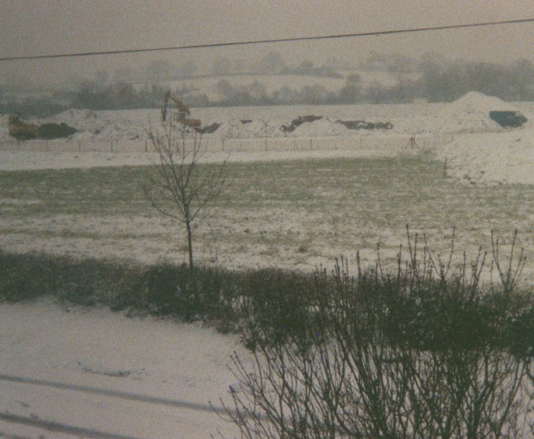
Sainsbury’s site, work begins, 1991
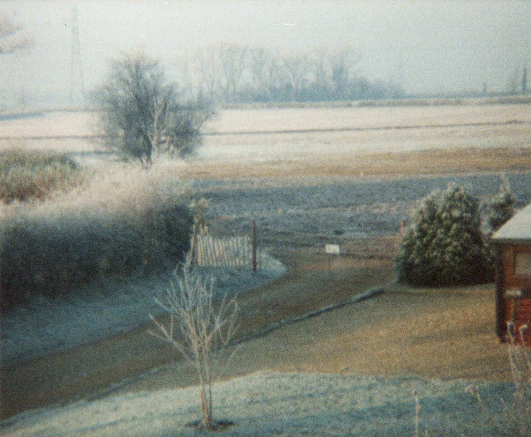
Looking westwards across the empty site 1991
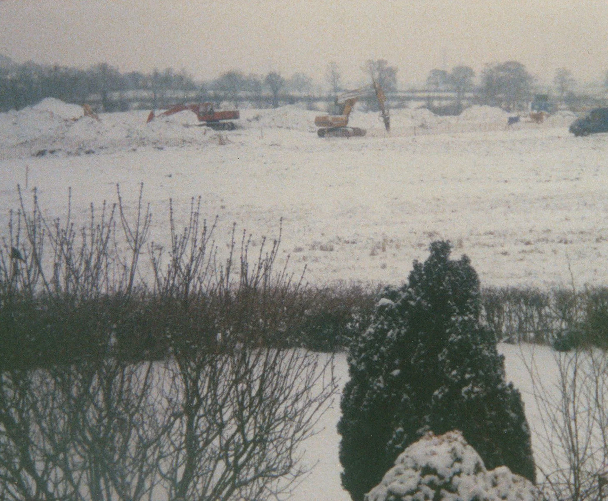
The Sainsbury’s site, winter 1991
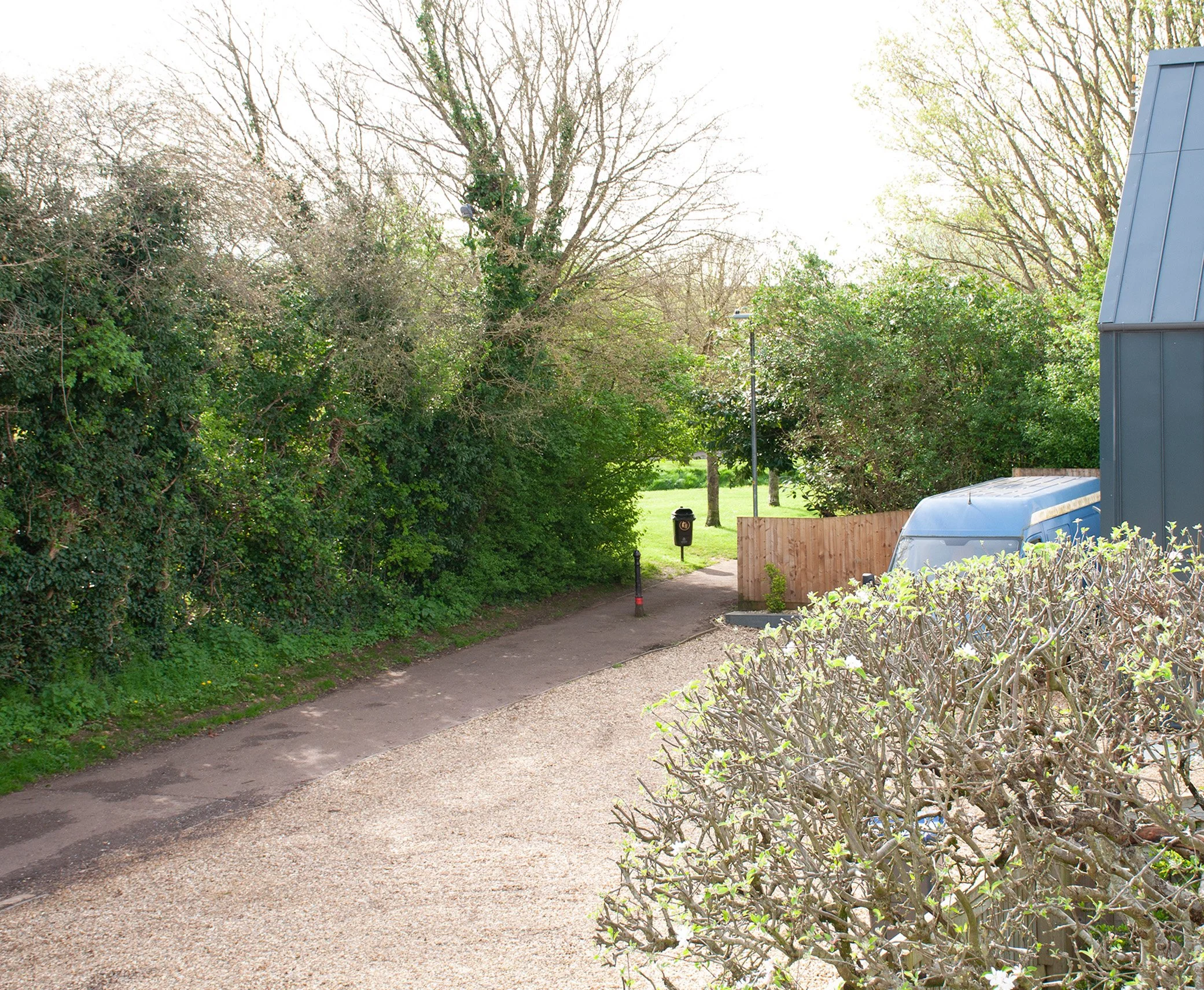
The same view, 2024
The site of Camp Barn is off Goodwood Way, in Cepen Park. It was early November, past four-o’clock, when I went to photograph the place where the barn had stood. Schools had been out for some time. Children had gone home and come out again to play. Summer was over but the weather had not yet turned and even the late afternoon held a trace memory of warmer days. From the Monument List I had a grid reference, which I found using my phone: within this area the road looped around a patch of grass which narrowed down into a verge. An open fence was behind the verge; there were young trees behind the fence, ivy growing up their trunks, then red-brick houses with white frames on the windows and doors. The barn would have been here. I took some photographs enclosing the row of houses, the trees and the grass, a darker shade of green now, as the light began to change.
On the opposite side of the road there was a park, a portion of a former, large, irregularly shaped field. A low bank, grassy, with bald patches, hardened over summer, occupied the area separating the park from the road; could it be a medieval boundary bank, preserved in the middle of the estate? A helpful resident told me that the bank had been dug to prevent travellers from settling there. I strolled up Goodwood Way, looking around for a stone and an object, souvenirs of contemporary life. Half-term was over. There had been Halloween followed by Bonfire Night. Scatters of bright green jelly sweets lay on the pavement, dropped or rejected by trick-or-treat collectors, now the jelly had disintegrated, lost its shape. Whatever the Halloween shapes had been, they were unrecognisable now. There were a few wrappers. While walking back I noticed a flower, made of wool or felt. It lay on the side of the road, pale yellow, dirty, its simple stylised shape not affected by time spent out in the open, exposed to the weather and passing traffic. I placed it in a collecting bag. In the park opposite the site of Camp Barn, a path divided the games area from a small piece of ground, sheltered by a mixture of shrubs and privet hedging; I wandered around this plot of grass. There was nothing to be found. The hedge had been cut recently and possibly any litter had been cleared up. I selected a small stone from the broken twigs and ivy in the hedge bottom then searched the open ground next to the bank, but found nothing so I turned back into the more private corner. Perhaps if I walked in the opposite direction. I glanced from side to side and below an overhanging bush, there was a tin, pale green, lying on its side. Woodgate Pear Cider. I picked it up and tilted it, letting the last liquid trickle out, then placed it in my bag, and walked back, along the wide curve of Sandown Drive, towards Sainsbury’s and the A4.
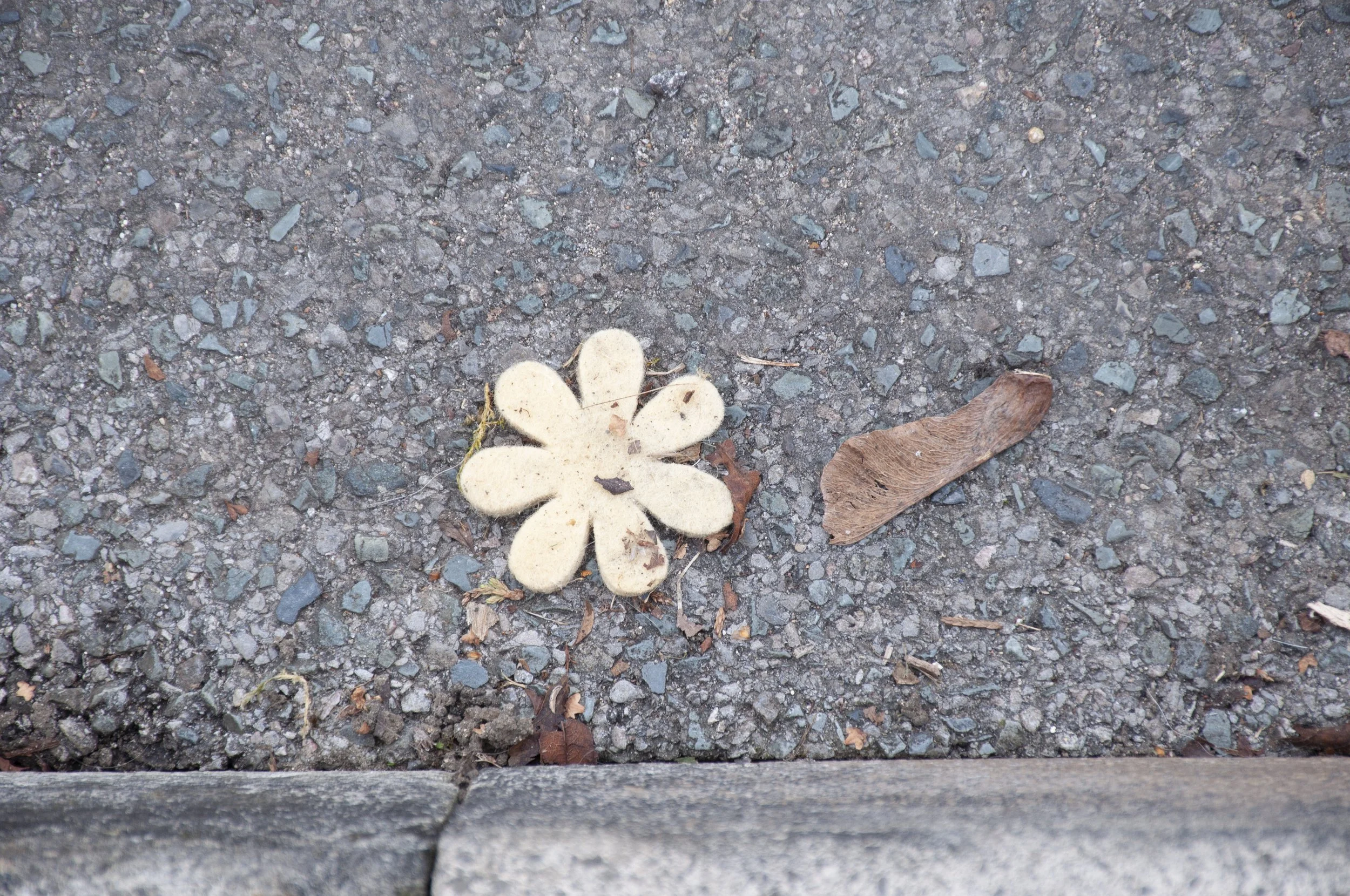
Decorative flower, felt, found near the site of Camp Barn