Sheldon Corner
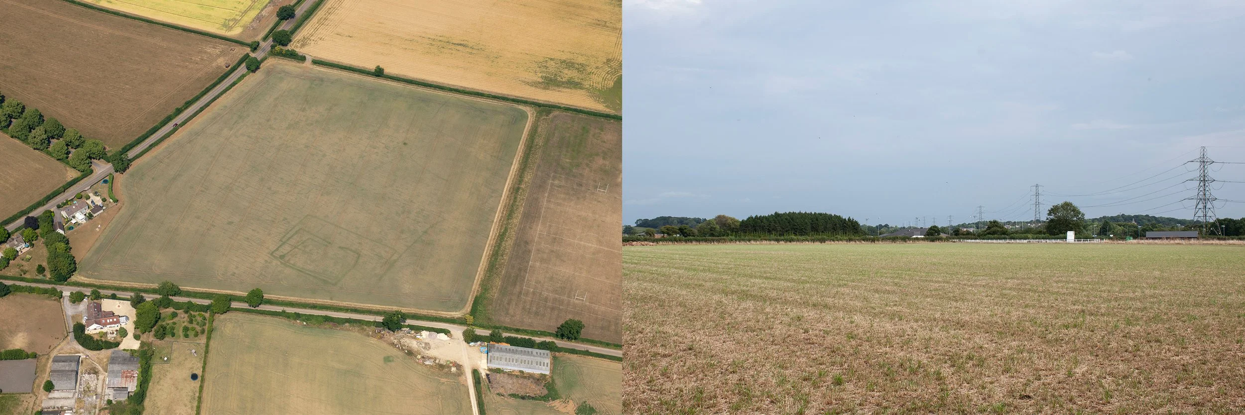
Aerial photograph, taken 2nd June 1982, for the National Monuments Record, showing a circular crop mark denoting a Bronze Age round barrow. Second photograph, the site of the round barrow, taken 29th August 2024, from the lower corner of the field
The second crop mark I investigated was in a field adjacent to the rugby ground; on aerial photographs it occupied most of the field, and appeared as a series of squares of decreasing size, each one overlapping the next and slightly angled. Internally, circular features had been noted which might have been the remains of a roundhouse but the clearest feature on the photograph was a line, leading to a solid circle, thought to have been a pit.
I passed Chippenham Rugby Football Club and walked along Frogwell. After a few changeable weeks the weather had settled and the early afternoon sun was hot. A thick hedge of hawthorn and brambles grew on top of the bank next to the field where the crop mark had appeared. It was impossible to see over or through the rigid tangle of branches. I walked the length of Frogwell, maybe there would be a gate, but no, not on this side of the field. I turned the corner, passed a couple of houses and finally arrived at an open field gate. The whole site spread out in front of me. The field was level, like the surrounding land, in the distance, white palings marked the edge of the Rugby Club territory. I stepped through the open gateway, the field was empty, no machinery, nothing. Whatever crop had been sown had recently been cut and the brown earth was exposed and rough. There could not be any livestock in the field, not even a pony belonging to one of the houses, because the gate was open. Perhaps the field was owned by one of the residents of the adjacent houses, even if not, as I entered I felt too much proximity to the private space of their back gardens. I was opposite one of the long sides of the enclosure and this was not the best position from which to attempt to frame the site. I needed to be with my back to the lane, facing the enclosure as it would have extended; to achieve that position I had to walk past the gardens and then across the open field. It felt like too much of an infringement, and I decided to seek permission. I returned to the lane and let myself in through the gate of the first house and walked round to the kitchen door. White paintwork shone in the sun, there was a smell of cooking, or food at least, but no-one answered my knock. I decided to go back to Frogwell to have another look for a gap in the hedge. As I approached the second house, a man walked out of the gate with a small dog. I caught up with him and explained about my need to enter the field. Generously, he said that he thought no-one would mind if I went in. I returned, feeling more confident now that I had explained my presence to someone. This time I stepped quickly across the dry ground, heading for the place between two trees which gave the best view of the site. From the shade of one of the trees I took photographs trying to include the whole of the space once occupied by the settlement. Then I returned to the lane. As I walked along I saw what looked like a piece of worked flint on the ground amongst the grit and gravel – dark grey and shiny with a ridge and what might be percussion marks. I placed it in my camera bag and carried on, taking the top fork along Chippenham Lane towards Starveall.
I returned to the field a week later. This time I had the aerial photograph of the enclosure and I could confirm which two trees in the hedge marked the maximum width of the settlement and where it was positioned. I counted and identified trees. It was eleven years since the photograph had been taken, a sunny morning in July. Though the trees were larger now and there were other trees in the lane, I identified the spot where I should stand. I hoped that the permission of the previous week extended to today. No crops had been planted so I walked directly over towards the hedgerow. On the aerial photograph the squares veered towards the corner of the field as they got smaller, heading in the direction of the white fence which bordered the rugby grounds. Though they were invisible I concentrated on the outer edges of the enclosure and made sure that they occupied the picture frame.
Towards the end of the summer I went back to the field and its environs to look for an object for my collection of contemporary finds. The field gate was closed, so I searched along the lane and found a tin, lying flattened in the grass by the side of the road.
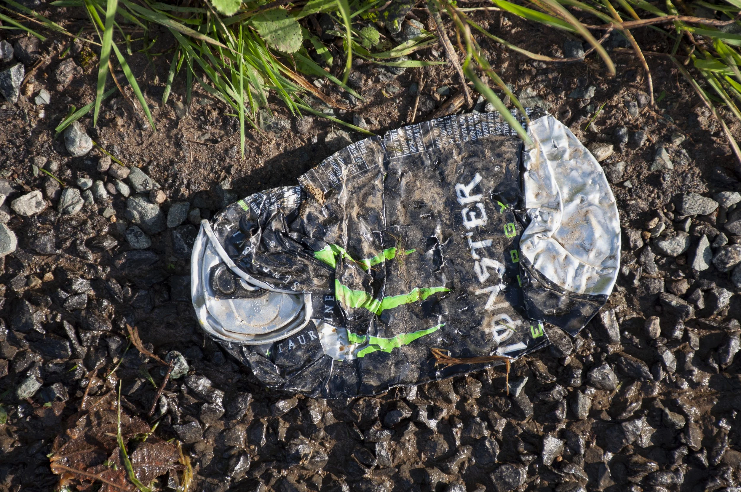
Tin, container for energy drink, Monster, found on the road next to the site of the Iron Age/Roman settlement