Towcester Close
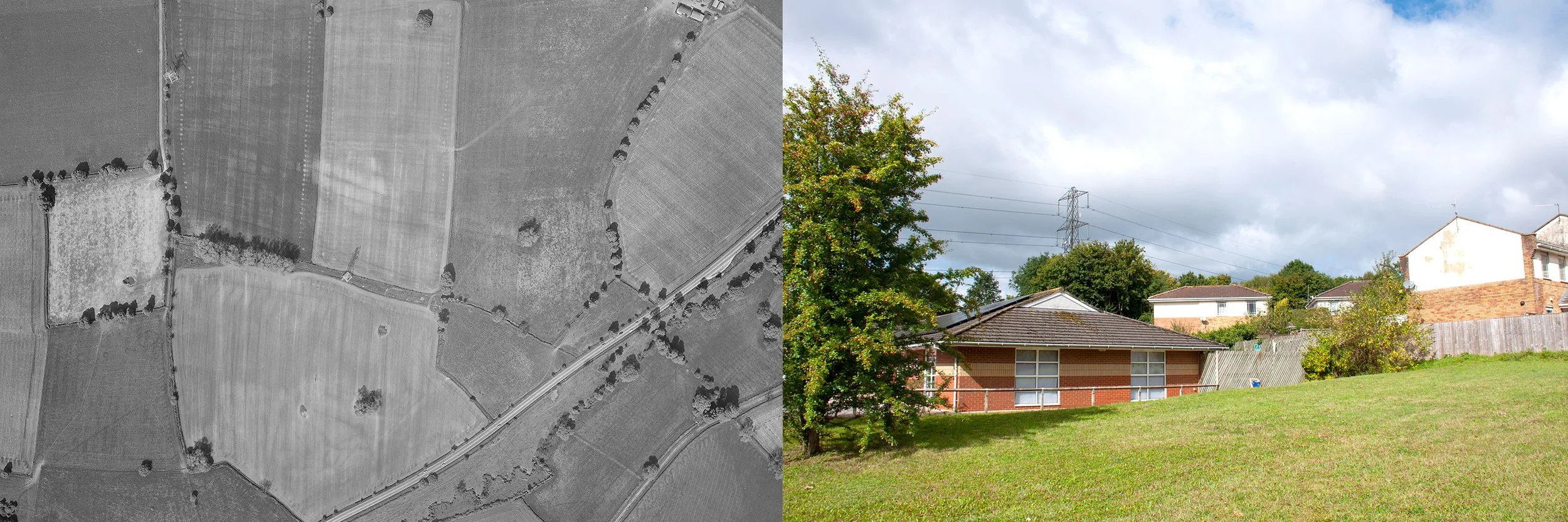
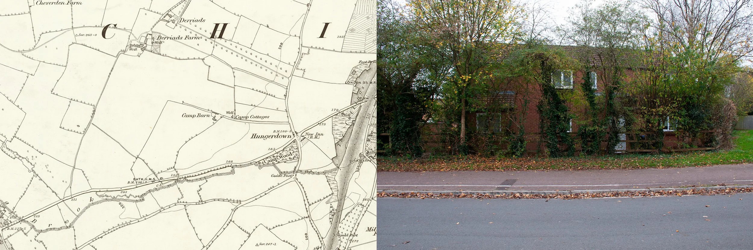
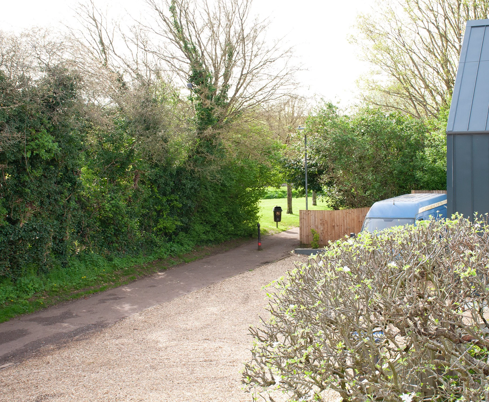
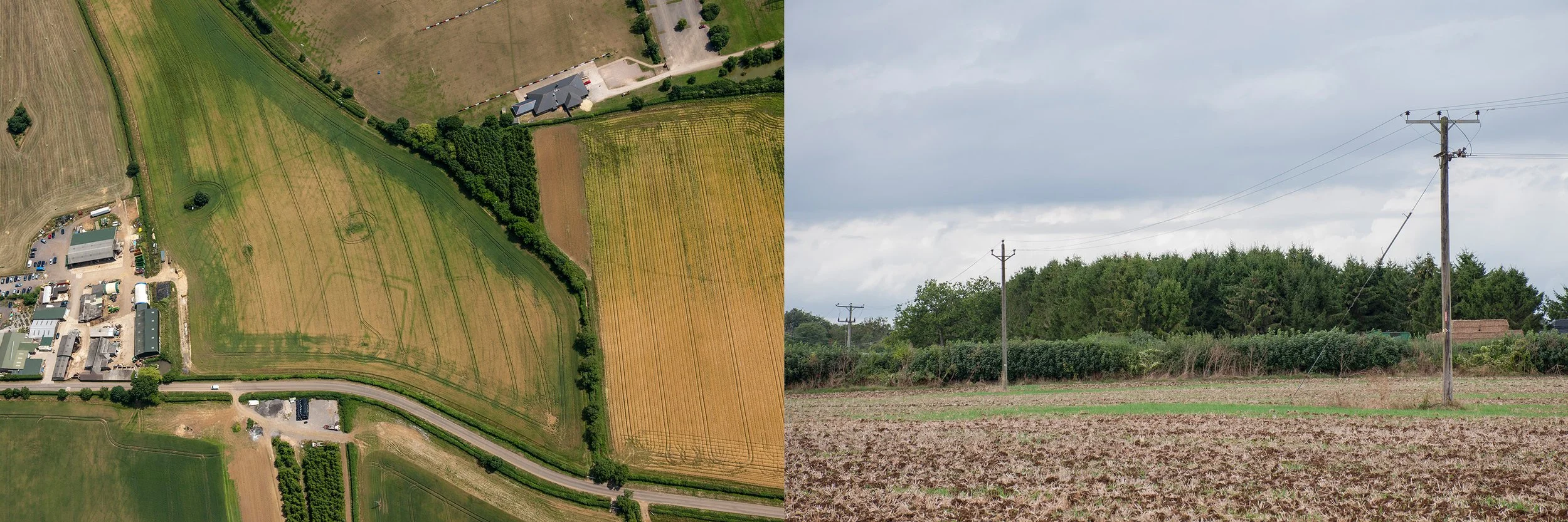
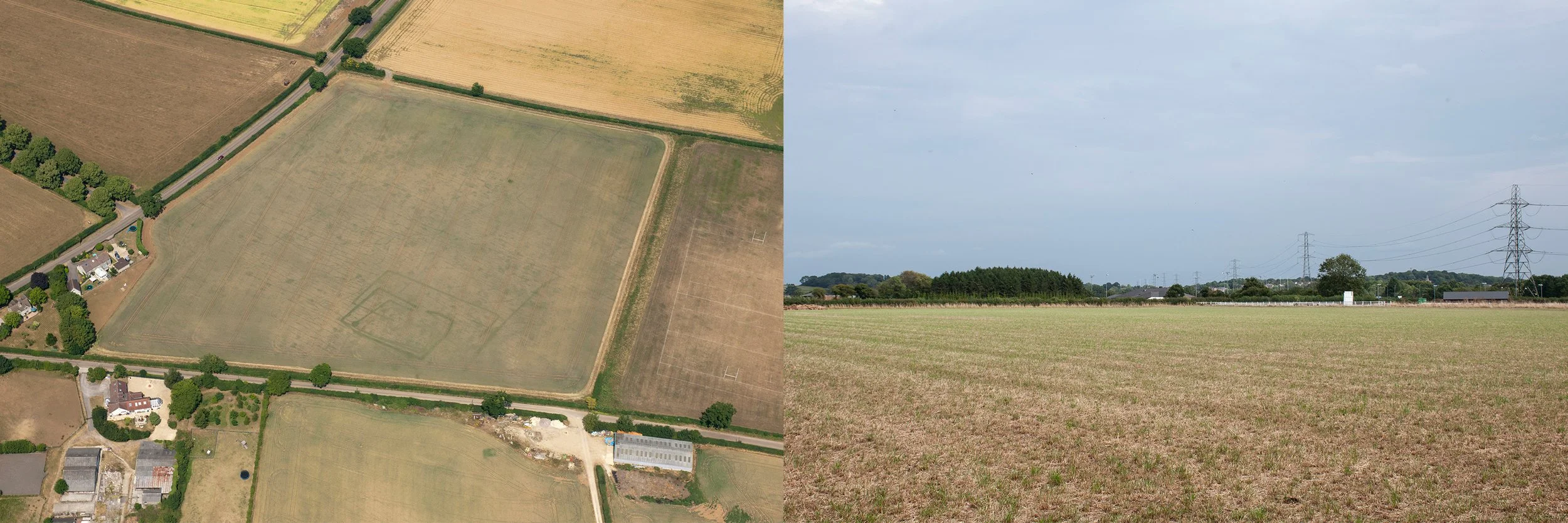
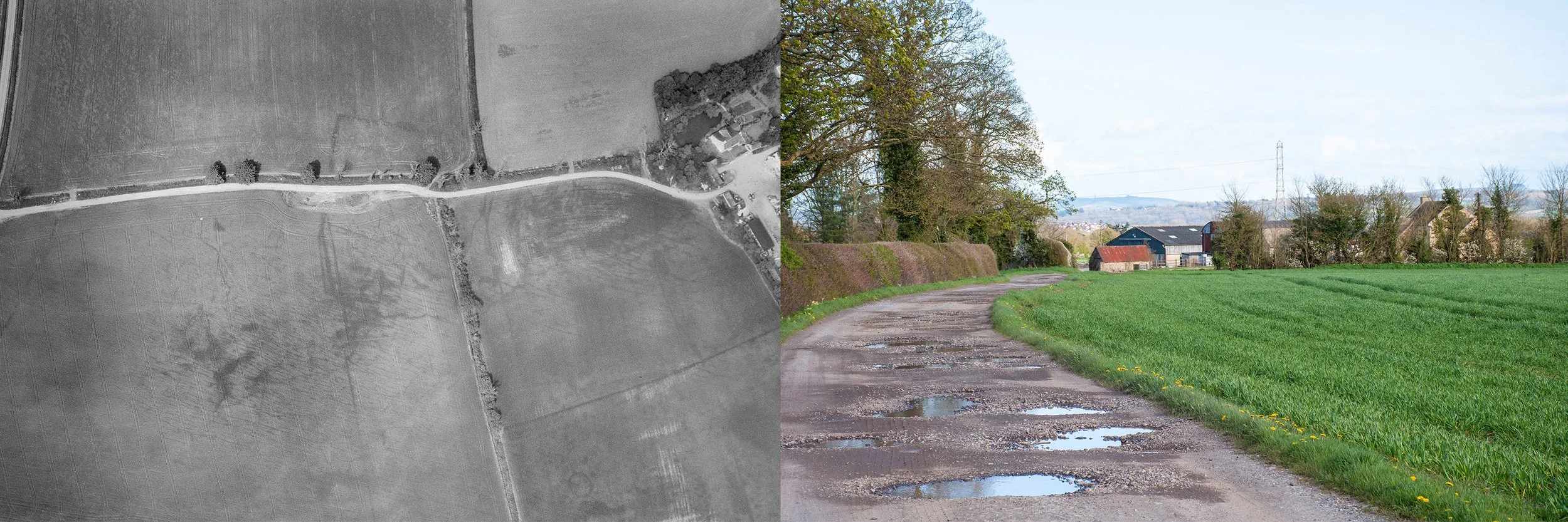
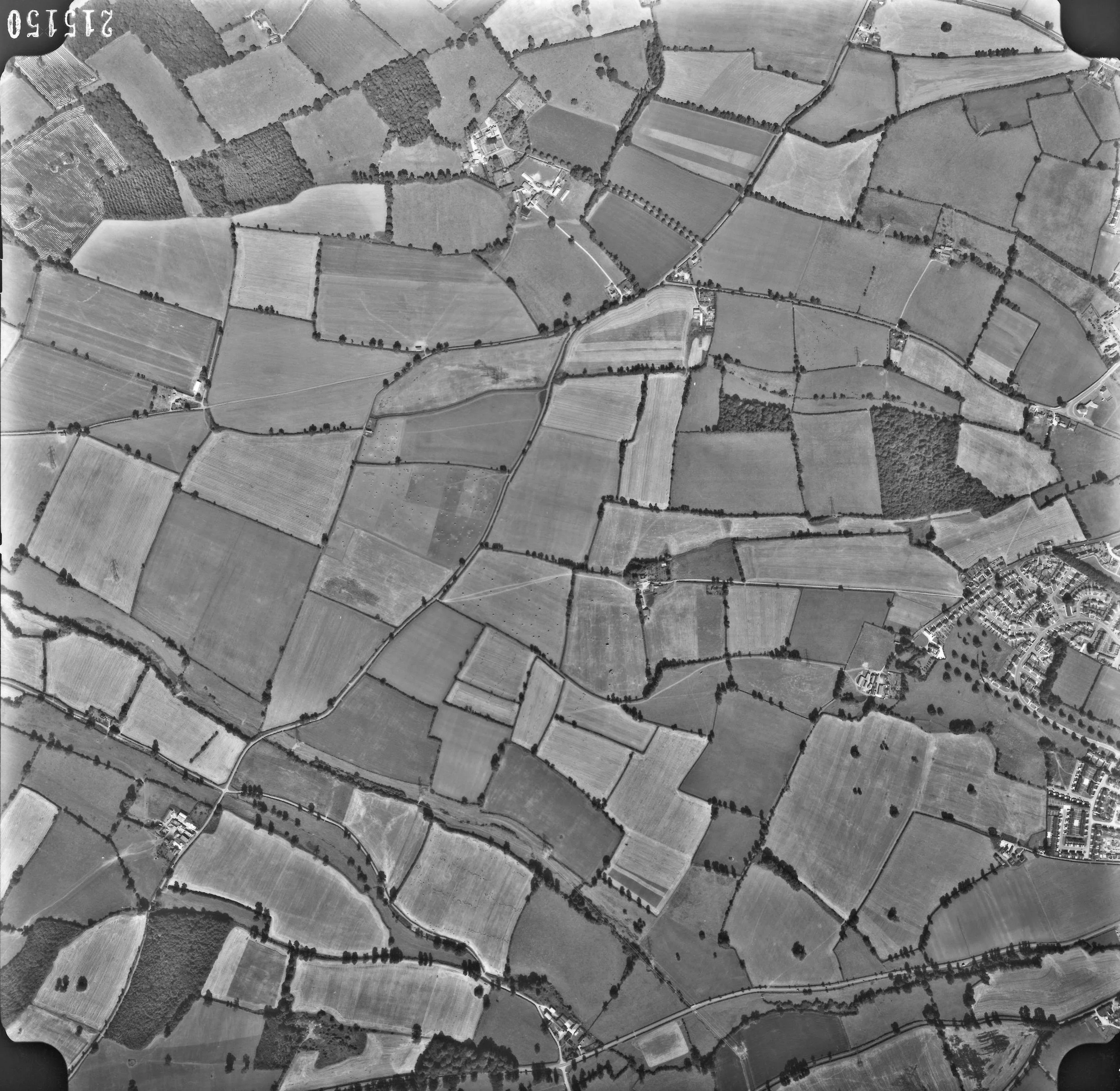
Aerial photograph showing a faint crop mark suggesting the site of an Iron Age enclosure in the bottom right corner of the right hand vertical field, taken 16th May 1964, by Ordnance Survey. Second photograph, the site of the enclosure, taken from the south side, 11th September 2024
I had visited Towcester Close before. Now I had an aerial photograph taken for the Ordnance Survey on the 16th of May 1964. The black and white photograph was mainly grey; footpaths and tracks showed up as darker lines in the shady landscape. In a field, one of two, both long and thin, box shaped, a crop mark had shown up. It was just a right angle, in the lower corner of the field, level with a pylon. Unfortunately, it was barely visible, a fugitive mark. I had to look, and look again before it would materialise, a faint tick in the corner of the field. Now, it would have no longer occupied the field but instead it would have extended across the middle of the inner square formed by Towcester Close, in Cepen Park South, its short line descending into a wooded area behind the houses. As an aid to photographing the site I had marked up an aerial map with a white tick imitating the crop mark.
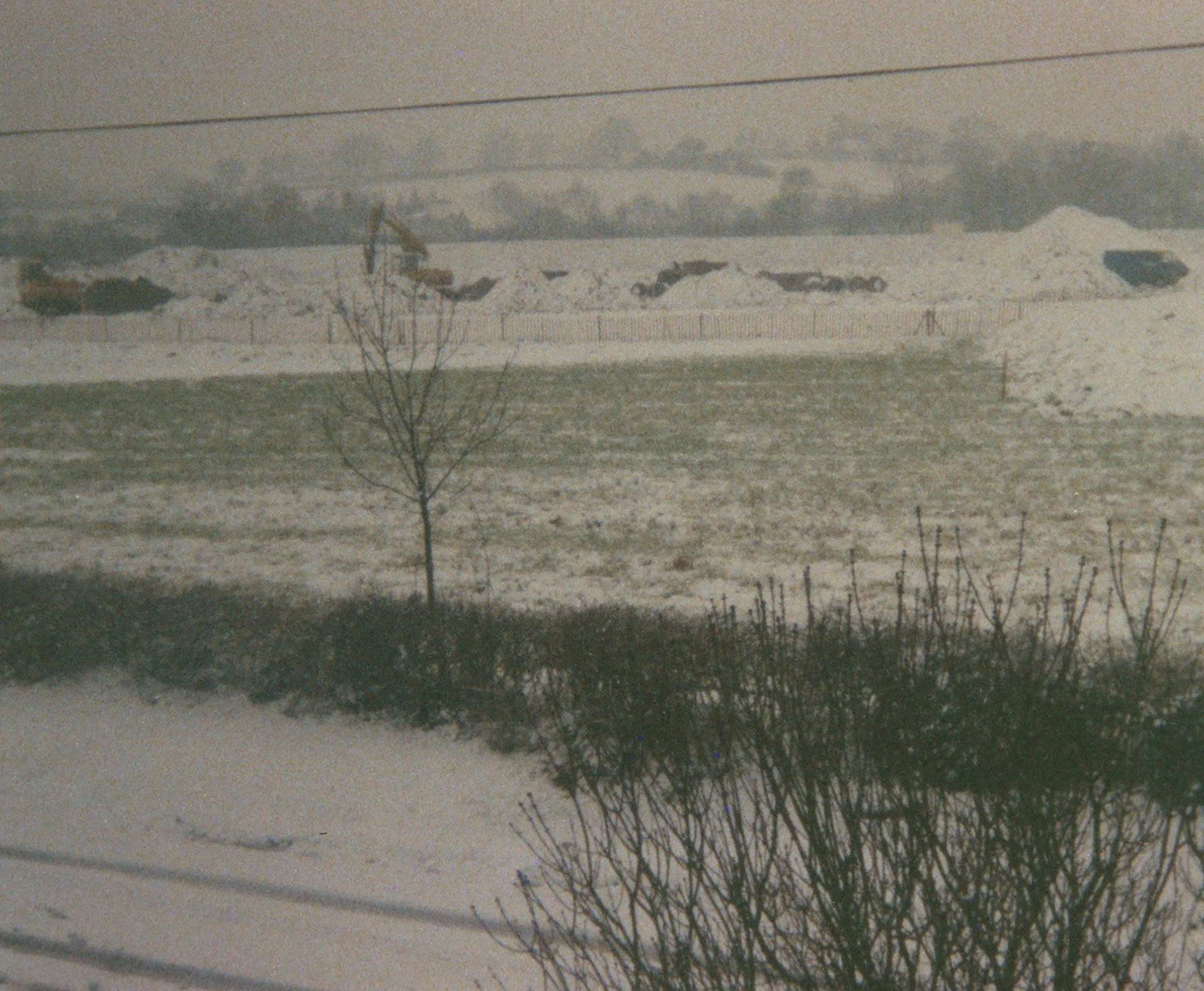
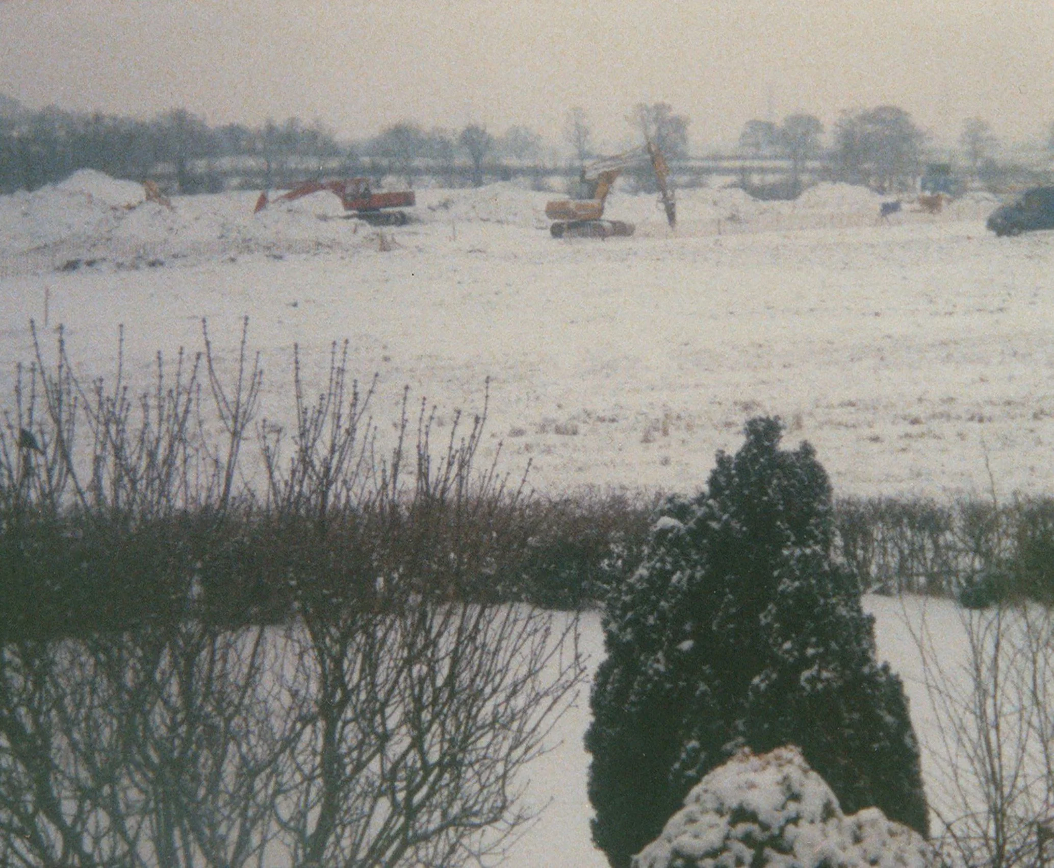
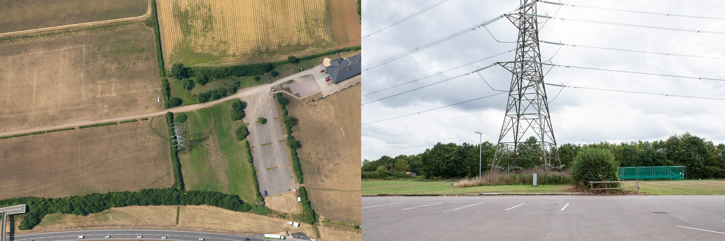
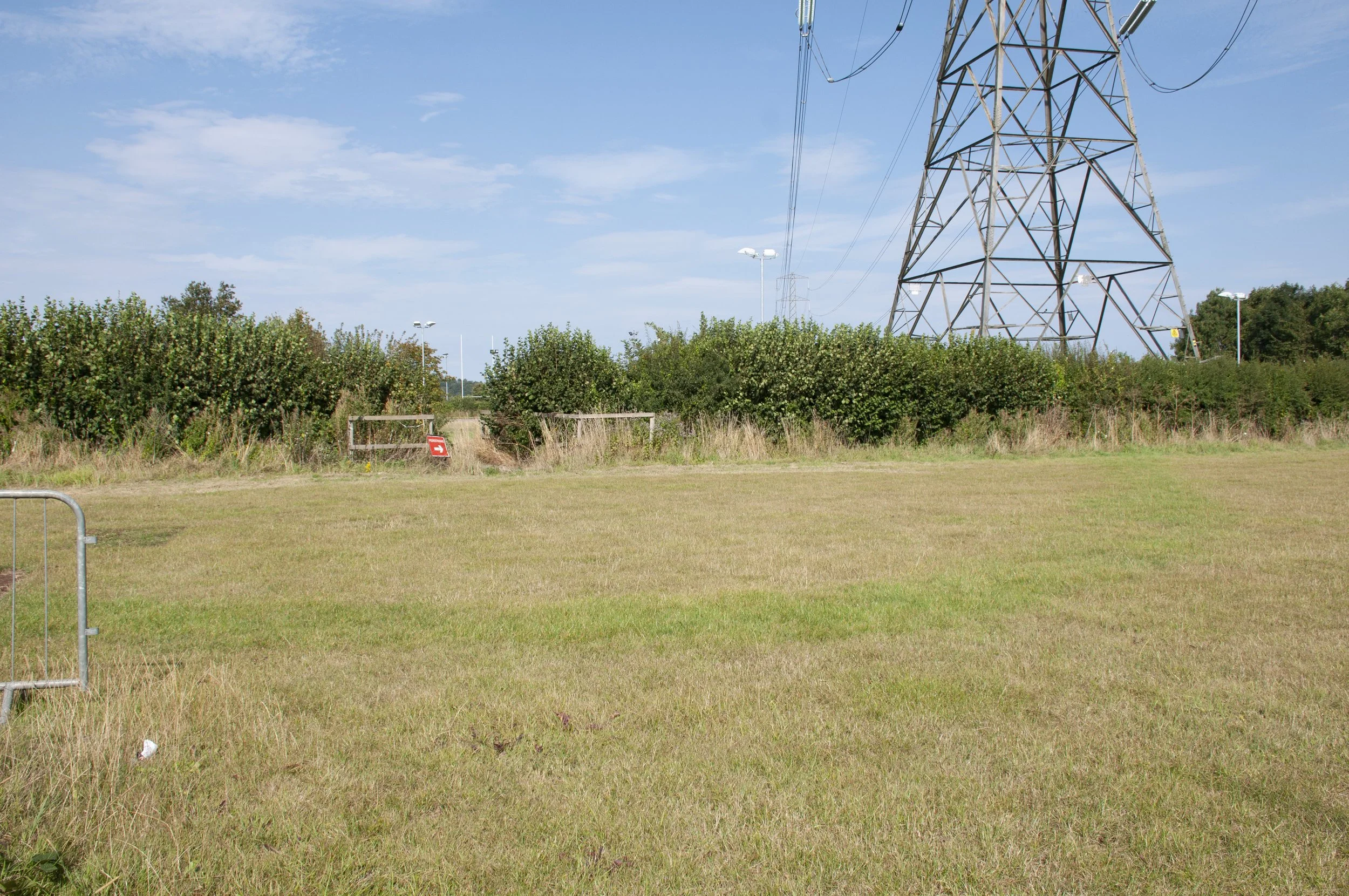
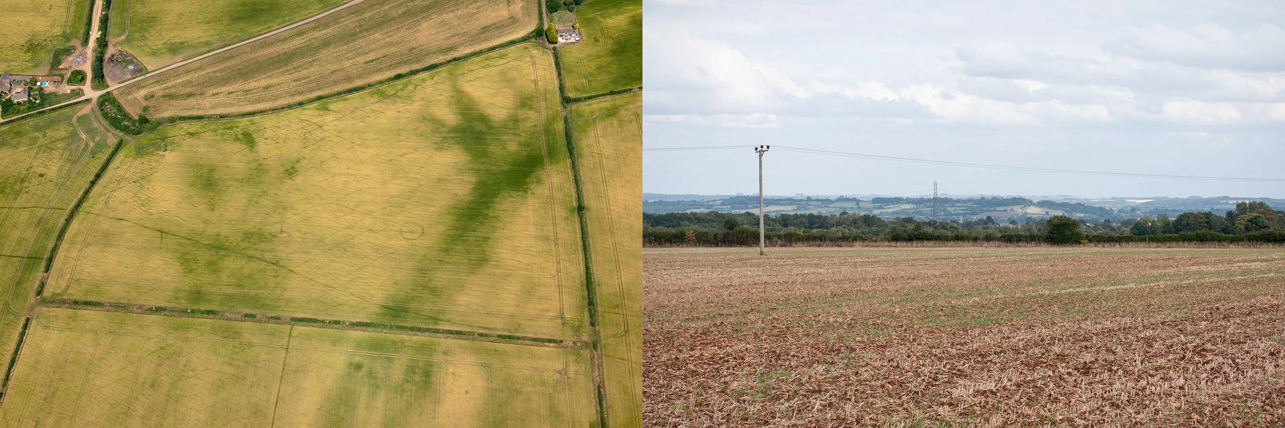
This would be my second visit. The school holidays were over. The council were trimming the hedges. I entered the close, aware that I was in a private domestic space. People entered and left in their cars. I had calculated the best place to stand in order to photograph the position of the long element of the crop mark. I took some photographs then left the close and wandered around till I came to an overgrown wooded path, dark and shady, fallen leaves damp on the pavement, leading to a patch of open ground between Towcester Close and McDonald’s car park. I realised that I was now below the position of the enclosure and looking up towards the long edge. I took some more photographs then walked the short distance to cross the A4 and catch the bus home.
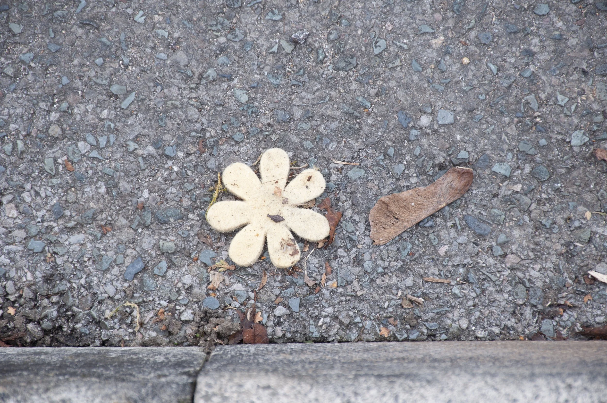
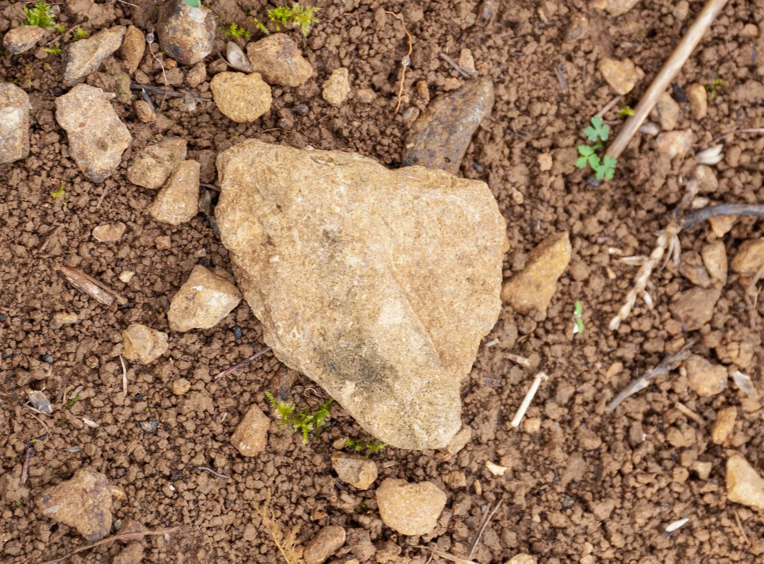
I went back to the site in the autumn to pick up a stone and an object for the collection of recent finds. First I went to Towcester Close. Nothing caught my eye. Sometimes it was necessary to walk around twice. I strolled down the leafy path towards the small grassy plot below the site of the enclosure and walked alongside a fence; there were some wrappers, crumpled and wet. Oreo, first one half, then the other. The first stone I tried to pick up was impossible to prise away, part of a well embedded course of rocks; maybe the grassy patch was a vestige of the original enclosure, too rocky to build on. I crouched below some trees; there was a bit of yellow plastic, a child’s toy vehicle. I looked around for loose stones. A hypodermic syringe lay on the dry earth near the tree roots.
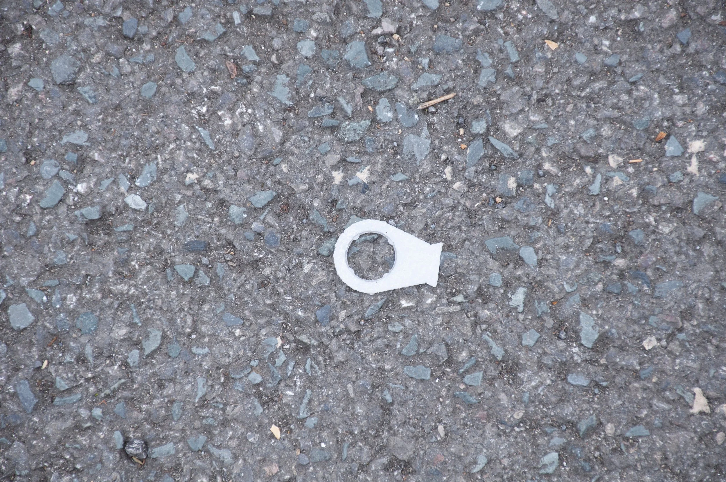
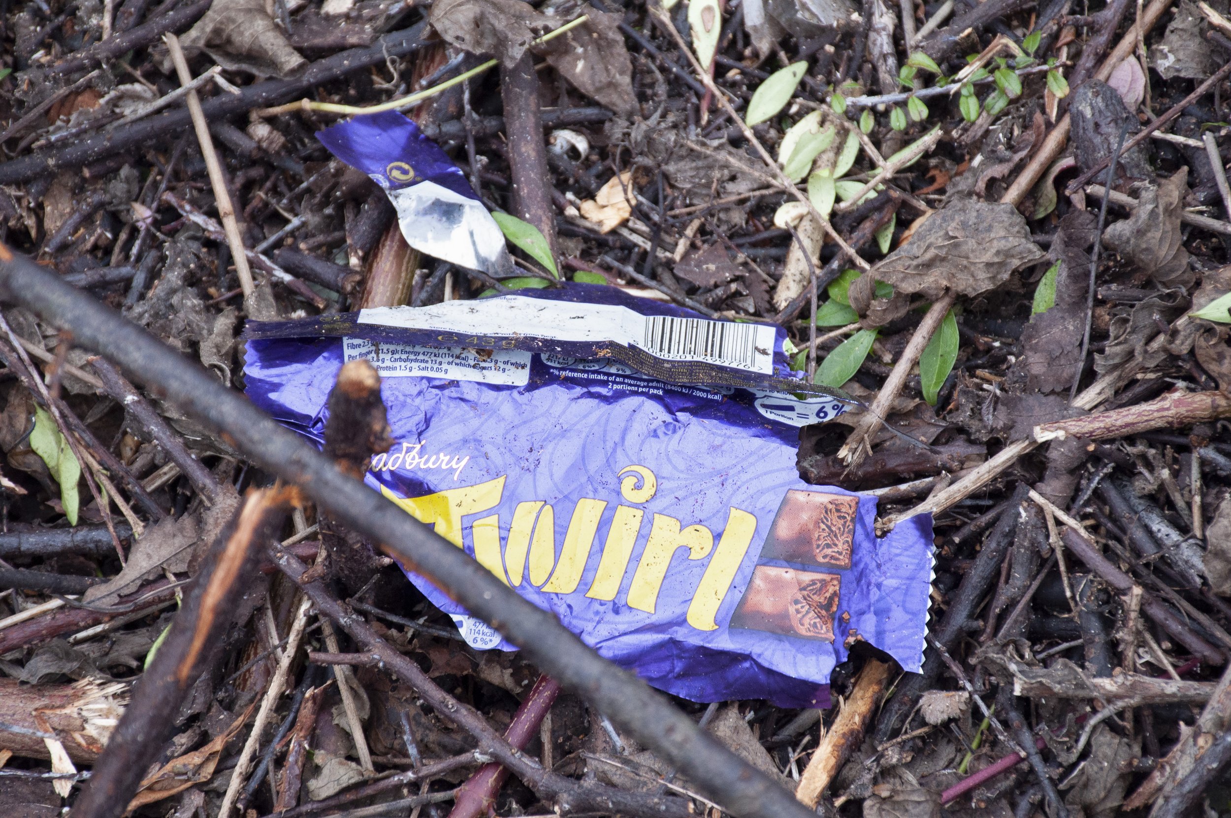
I moved back to the lane and found a fragment which had broken off the red bricks edging the pavement. A few steps further on I saw a metal garden ornament lying outside a back garden; as it was unclear if it was rubbish or not, I left it there. A small orange plastic object, lay, squashed, on the ground; it looked like the tip from a plastic container, which might have held sealant. I picked it up. Finally I went back to Towcester Close for a last look. The large leathery leaved bush in the centre of the square had been cut back severely by the council, leaving a short tangle of lopped branches – amongst them was a Twirl wrapper, Cadbury purple, it had been torn, and its parts flickered in the breeze, but it was still complete. I folded it up and placed it in a collecting bag, then walked down to the A4 to catch the bus home.
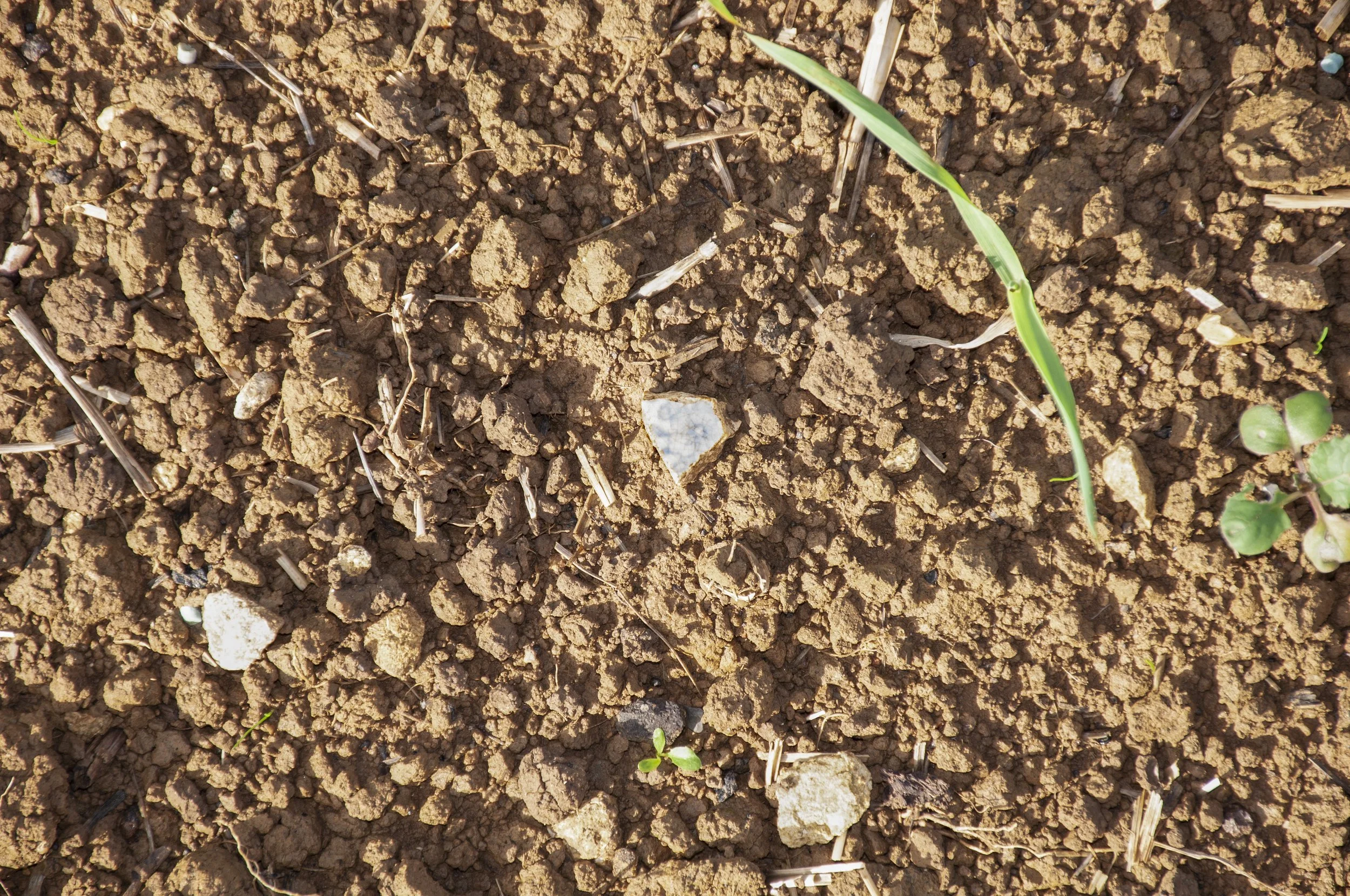
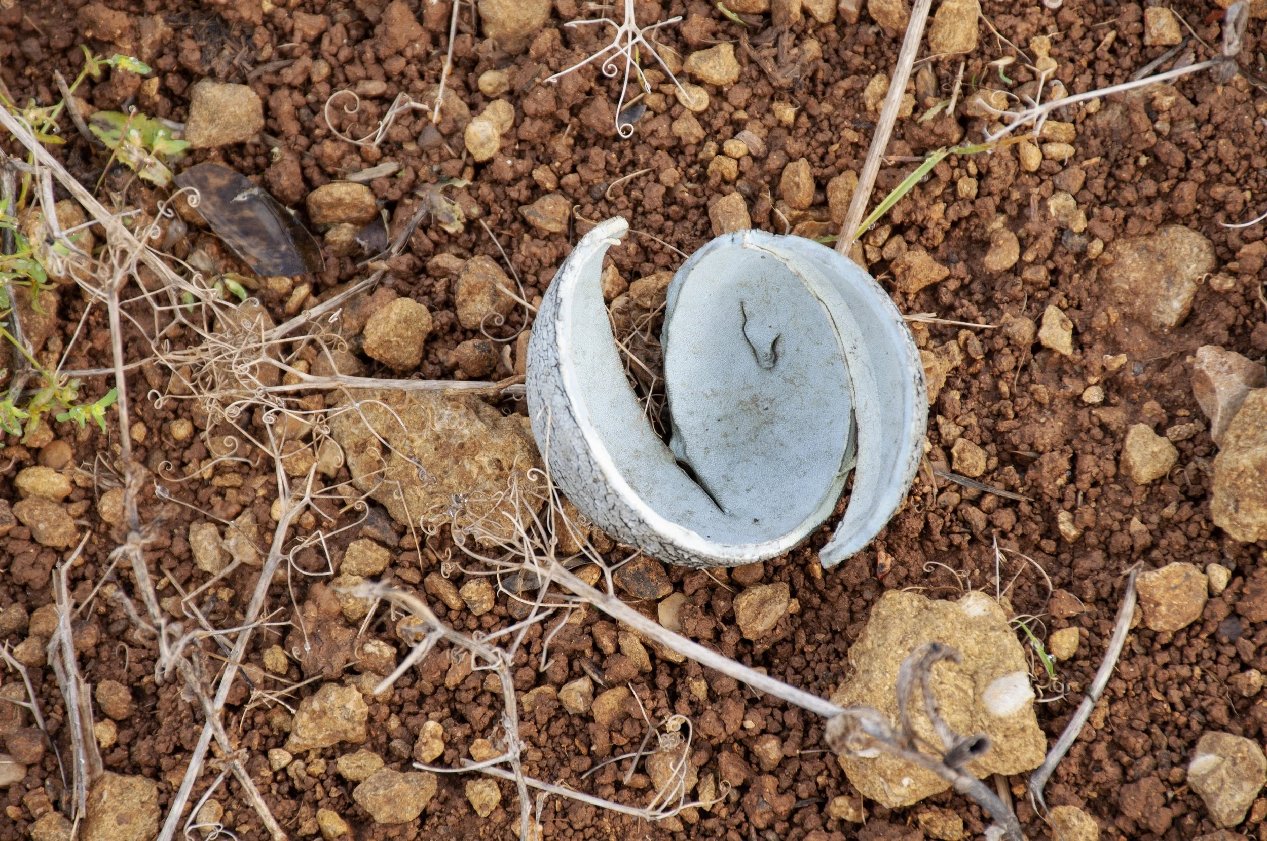
Chocolate bar wrapper, Cadbury’s, found near the site of the enclosure